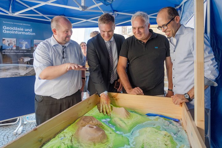
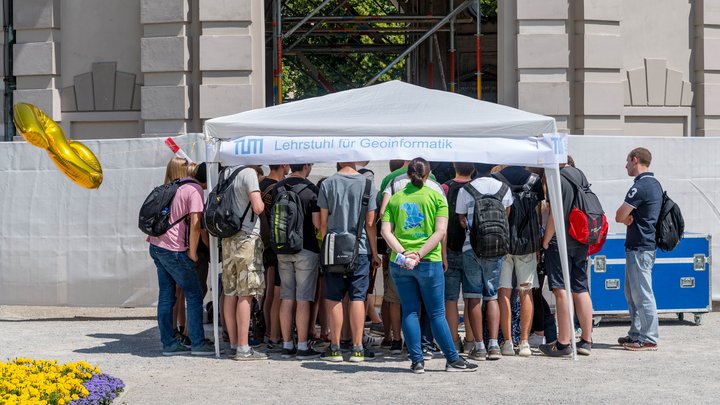
The Bavarian Week of Geodesy was carried out already for the fifth time, this year from 14th – 23rd of Juli 2017. Technical University of Munich (TUM) participated at the Central Action Day on the 18th of July in Munich. Around 400-450 pupils from secondary schools joined the guided tours in the “Hofgarten”, the garden of the Munich Residence. On “Odeonsplatz” the Bavarian state mapping agency, professional surveying organisations as well as the Technical University of Munich and the University of Applied Sciences Munich presented state-of-the-art surveying instruments starting from total stations over laser scanners up to high resolution cameras. Visitors and participating school classes performed surveying tasks with these instruments. Visitors could also experiment on airborne data acquisition using an unmanned airborne vehicle (UAV) flying in the Hofgarten. Prof. Jukka Krisp from the University of Augsburg provided a special sandbox in which visitors could interactively model the terrain. The sandbox was scanned in realtime creating a 3D digital terrain model and being projected back onto the sand. Professor Uwe Stilla, Professor Thomas H. Kolbe from TUM and the president of the Bavarian State Mapping Agency, Wolfgang Bauer, consider this a playful way to educate about geodetic methods starting from photogrammetric registration up to 3D visualization.
The Chair of Geoinformatics demonstrated at its booth in the Hofgarten how acquired geodata in the form of 3D city models are used for a multitude of applications like disaster management in flooding situations or the calculation of solar irradiation on building roof and wall surfaces for the planning of photovoltaic or solar thermal installations. Pictures were taken from all visiting school classes from different perspectives. In cooperation with the Chair of Photogrammetry 3D models were reconstructed, inserted into the 3D city model, and provided to the pupils for online viewing over the Internet.