News

At the graduation ceremony of the Department of Aerospace and Geodesy on Friday, 13.11.2020, our employees Son Nguyen and Dr. Tatjana Kutzner were awarded two teaching prizes in the category "Bachelor Geodesy Exercise" for the courses "Introduction to Computer Science 2 -…

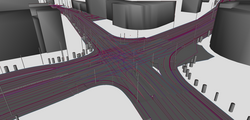
To test automated driving functions, highly-detailed reference maps are created and described in the road networks standard OpenDRIVE. As OpenDRIVE was developed for the very specific field of vehicle simulation, the tool support within the GIS domain is limited. To bridge this…

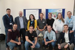
Zhihang Yao, research associate at the Chair of Geoinformatics until 2018, successfully defended his doctoral thesis on "Domain Extendable 3D City Models – Management, Visualization, and Interaction" on 9.1.2020. The picture shows from left to right the chairman of the…

The Chair of Geoinformatics held three presentations at the annual event Center Day at the Leonhard Obermeyer Center (LOC) on 15.11.2019 in Munich.  Prof. Dr. Thomas H. Kolbe gave a speech about "ZD.B Themenplattformen 'Smart Cities & Regions' & 'Digitales Planen und…

The Chair of Geoinformatics took part in the internal fair of the Stadtwerke München (SWM) on 17.10. on the topic of digital transformation. On the occasion of the 50th anniversary of the installation of the first computer at SWM, digitisation projects from all areas of the…

As part of INTERGEO 2019 , version 2.0 of the Geodesy and BIM Guidelines was published. The Chair of Geoinformatics contributed to the guideline as member of the editorial team and by writing articles to the part describing the foundations of BIM and Geodesy. The guideline…

The Chair of Geoinformatics will be participating in the upcoming event OGC CityGML Hackathon in London on 11-12 June, 2019. The Hackathon will build upon the outcomes of the OGC's CityGML Standard Working Group as well as provide Hackathon participants with detailed insights…

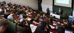
Chair of Geoinformatics and Runder Tisch GIS e.V. look back on successful Munich Geoinformatics Round 2019

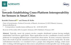
A new paper titled "Towards Establishing Cross-Platform Interoperability for Sensors in Smart Cities" has been published in MDPI Sensors journal. This paper was written by MSc. Kanishk Chaturvedi and Prof. Thomas H. Kolbe from the Chair of Geoinformatics and is available online. …

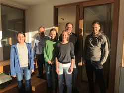
The study project “Prevention against Alpine Natural Hazards” finished successfully with a presentation of the results at “Die Wildbach” (Austria’s administration for the construction and maintenance of mountain torrent and avalanche barriers) in Reutte/Tyrol. Supervised by the…